Another destination of our hikes - the Volme-Höhen-Weg
- Written by Portal Editor

The river Volme forms the natural border between the Sauerland in the east and the Bergisches Land in the west. From the source of the Volme in Meinerzhagen to its confluence with the Ruhr below the Hengsteysee, the Volme covers a distance of just 50 kilometers.
A good part of this route, the Volme provides the course for the main hiking trail X20 of the Sauerland Mountain Association, which is why this long-distance hiking trail is also known as the Volme-Höhen-Weg.
Harkortsee and Wetter - a tour with eye-catchers


After you have passed the railway and the A1 motorway, the Volme-Höhen-Weg takes the last stretch into the Hagen district of Haspe. Haspe was once the location of the Hasper Hütte, which employed more then 7,000 workers and established Hagen's reputation as one of the centers of the German steel industry. The Hasper Hütte was shut down in 1972 and today there is almost nothing left of what was once a large factory with four blast furnaces and three steelworks.
Volme-Höhen-Weg - part of the stage from Witten
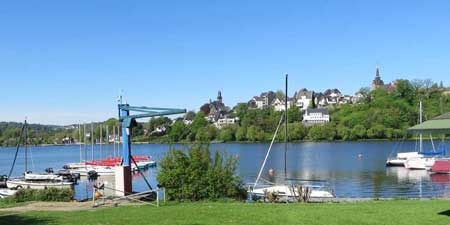
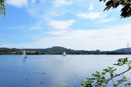
From Witten you first roughly follow the course of the Ruhr upstream to Wetter. Here is a nice overview of the rest of the hiking route from the Harkort Tower. You pass the Harkortsee (the Volme flows into the Ruhr above the lake) and cross the Ruhr in the process. Now you get to the Ennepe-Ruhr Valley, the northeastern part of the Bergisches Land.
From Breckerfeld it goes on to the Glörtalsperre and then to Schalksmühle in the Volmetal. The Volme-Höhen-Weg now roughly follows the course of the Volme via Haus Rhade and Kierspe to Meinerzhagen to the Volme spring. The last part of the way on the Volme-Höhen-Weg leads to the Panneklöpper Land to Olpe on the Biggesee.
Please read as well: