Bingöl - a thousand lakes in the east!
- Written by Portal Editor
Bingöl is a Turkish province in eastern Anatolia. The provincial capital is called Bingöl too, the old name is Çabakçur.
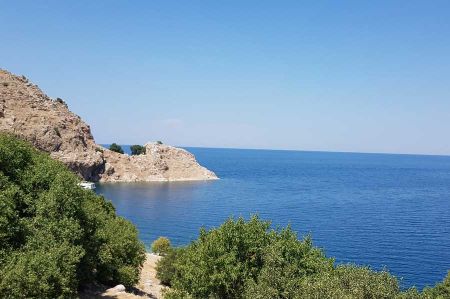
The Vilayet Bitlis was founded in 1881 and the Çabakçur and Genç districts were incorporated there. Kiğı came to Erzincan and Karlıova to Mus. In 1936 Bingöl became an independent province and was given its current size and shape. The province has been officially called Bingöl since 1945. The name Bingöl was supposedly given to the province because of the many lakes (Bin göl Turkish for thousand lakes). In Zazaisch and Kurdish, Bingöl means Çewlig / Çolig, which means garden or field.
Bingöl covers an area of 8250 km² and is about 1200 m high on average. The highest mountain is the Bingöl mountain at around 3200 m. Other interesting mountains are the Karir (2373 m), Şeytan (2906 m), Çavreş (2246 m), Serçelîk (2900 m) and Cotela (2940 m). Since the Bingöl region is very mountainous, there are only a few plains. The largest plain is in Genç with 60 km² and in Bingöl-centre with 80 km².
According to a census, 251,552 people live in Bingöl. Compared to the last census in 2005, the population has increased by 4,350 people. Kurds, Zaza, Turks, Lasen, Circassians live here. There are also Sunnis and Alevis in the province.
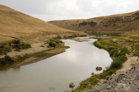
The Murat River feeds the Kerkis Gölü, Zirlir Gölü and Sar Gölü lakes

The Murat is mentioned, among other things, in the annals of Shalmaneser III. mentioned.
The Bingöl region is poor in raw materials. Just iron ore is found in Genç and Karlıova. For these reasons there is hardly any industry, so that most of the people live from agriculture and animal husbandry. The summer pastures in the Bingöl region are on average 1500 m high. The important summer pastures can be found at Bazirgan, Kandil, Mirgemir and Masla.
Please also read:
Memorial against fascism - shoes on the banks of the Danube
Wine cellar Plze - Petrov and its cap vault
